Local & Regional Broadband Planning
Learn More

Please enter a valid search term.
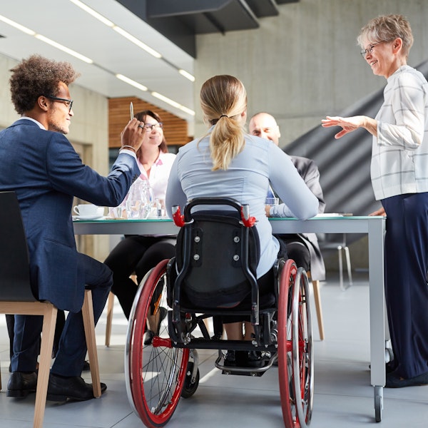
Everyone belongs in a Connected Nation
Who is in the Digital Divide?
Our mission is to improve lives by providing innovative solutions that expand the access, adoption, and use of high-speed internet and its related technologies. Everyone belongs in a Connected Nation.
How broadband investments are made today will impact the lives of millions of Americans – especially those in our most vulnerable populations – for decades to come. Seizing this opportunity requires that we truly understand the unique internet landscape in every state and community. Only then can we clearly identify how best to tackle the complicated and often highly technical challenges that define today’s Digital Divide.